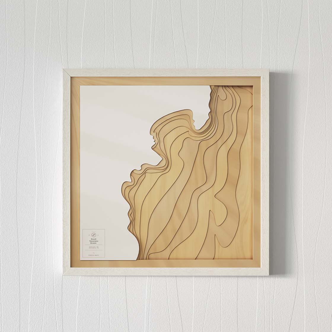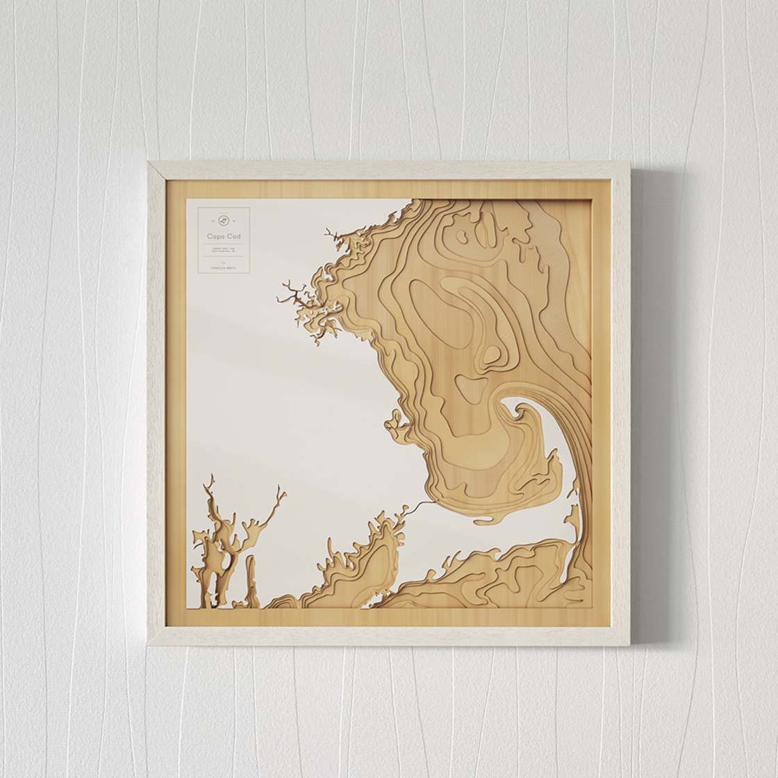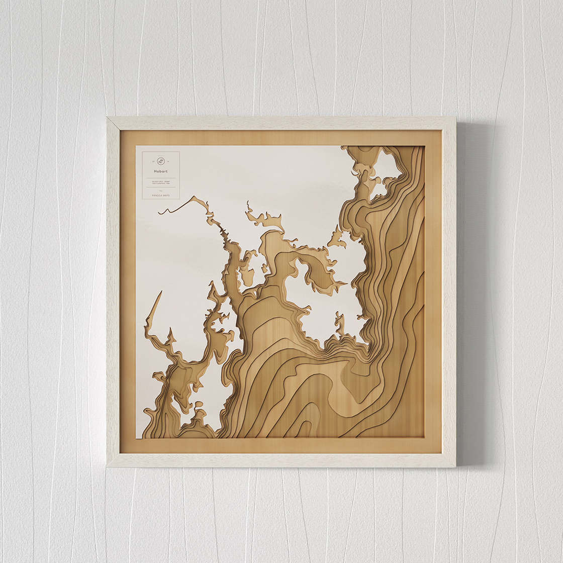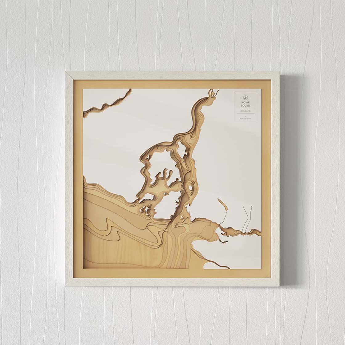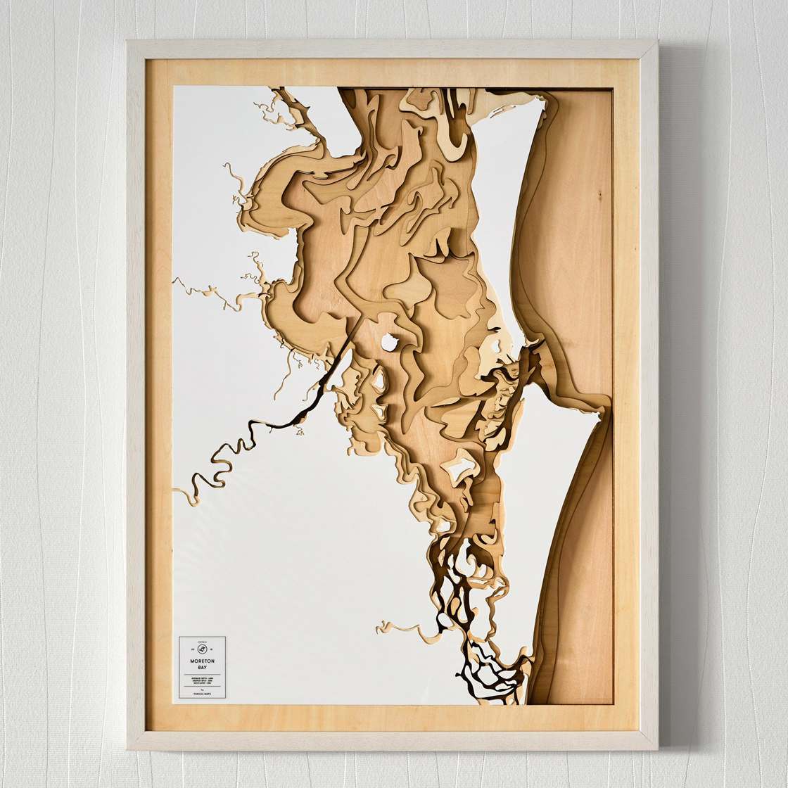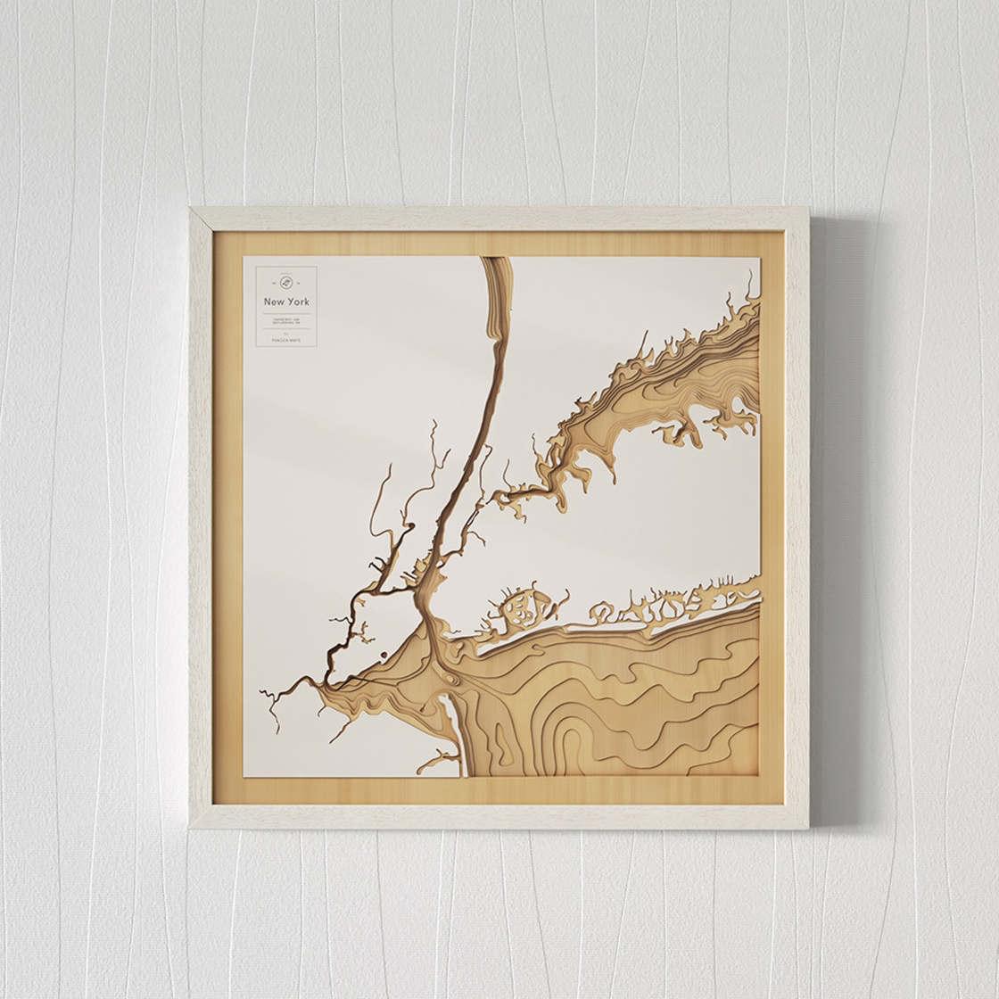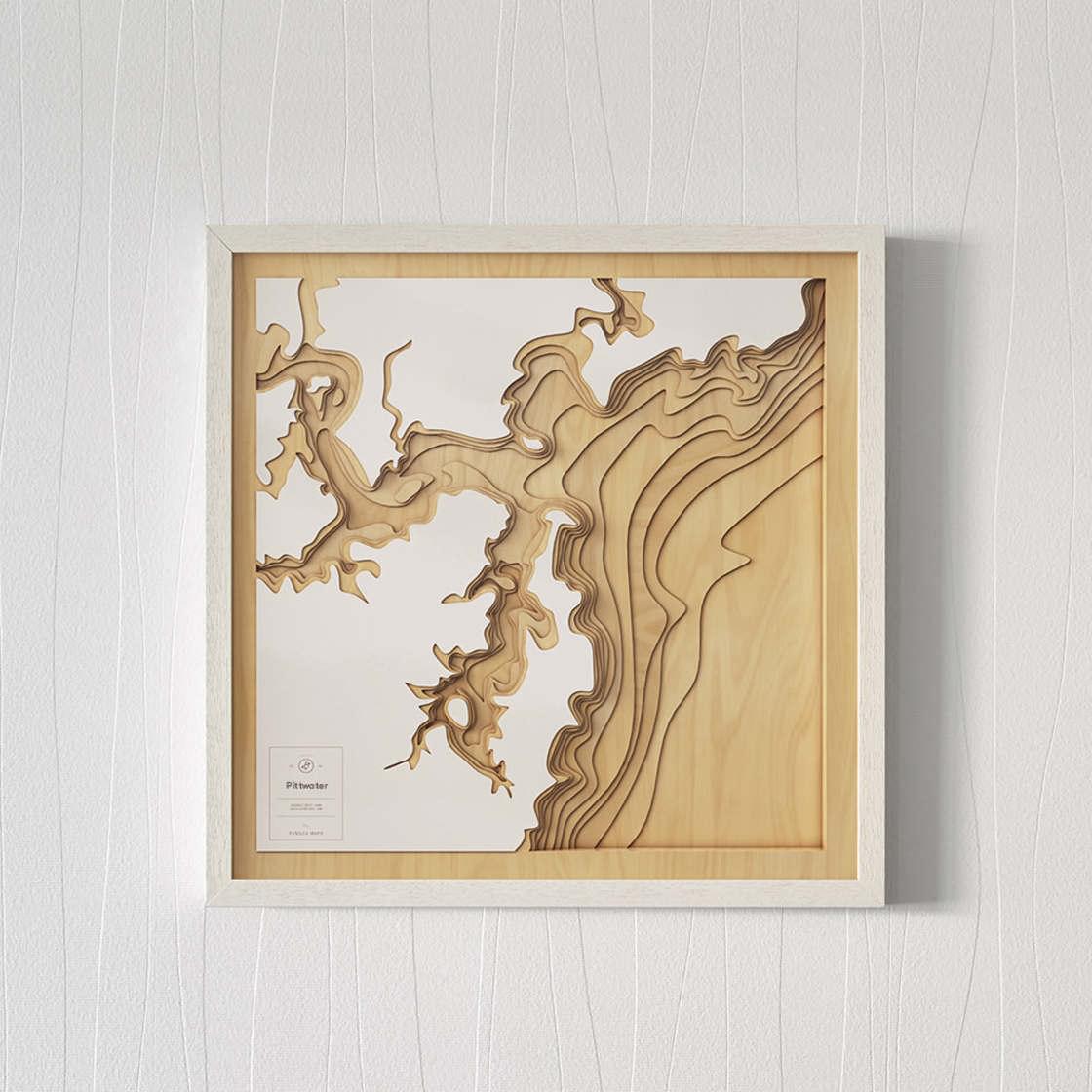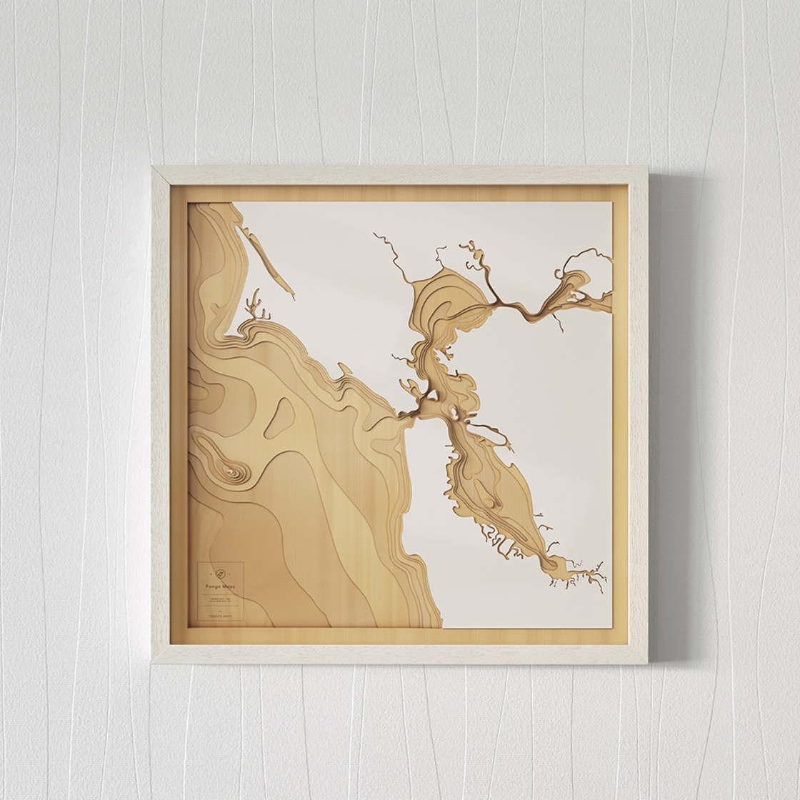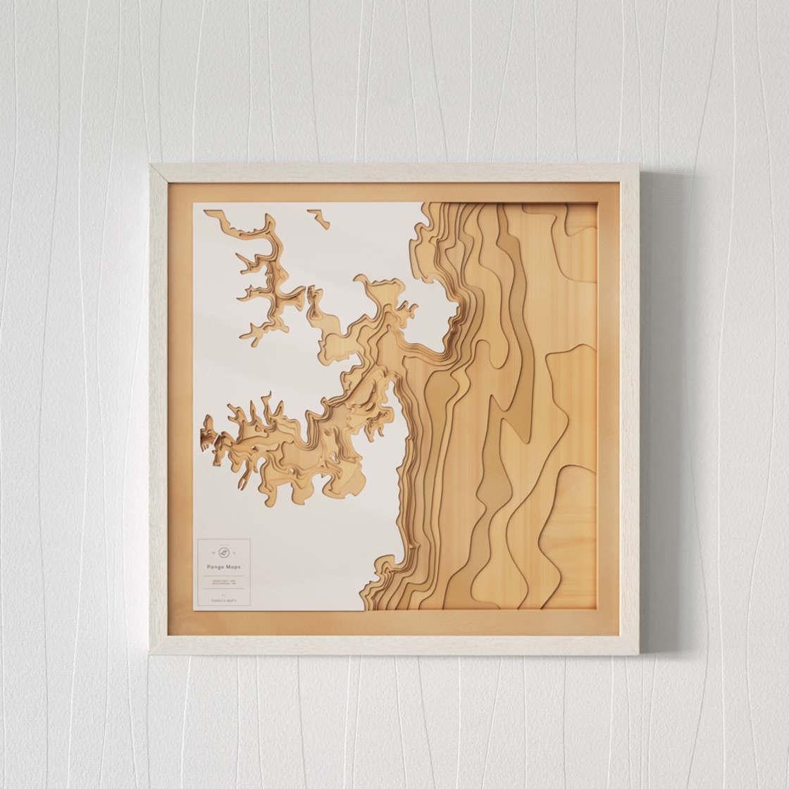
Pangea Maps – Explore the seabed with these stunning wooden maps
Founded by Tom Percy, Pangea Maps combines bathymetric data and CAD technology to create handcrafted wooden maps that reveal the hidden depths of iconic coastlines. 
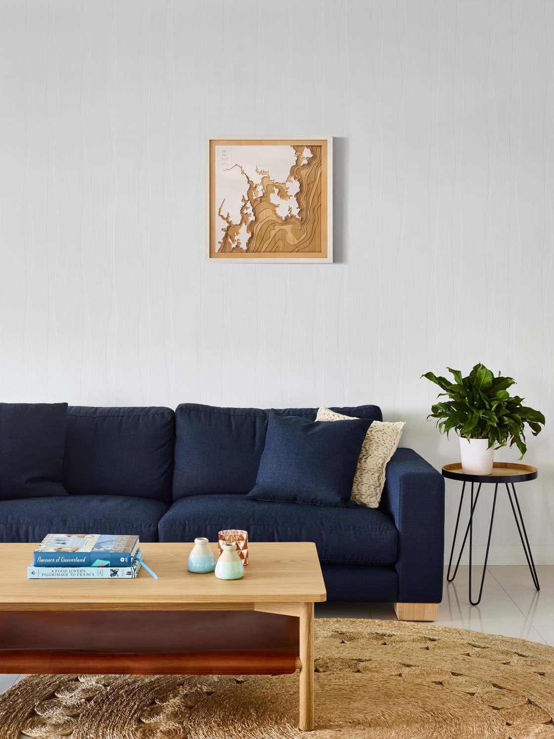
Australian designer Tom Percy created the Pangea Maps, a beautiful collection of wooden maps, documenting the seabed around the world with bathymetric data. Each map is handmade, using precision laser-cut wooden panels. Pangea Maps also offers an online tool to choose your favorite city, beach, shore or port, to let you create a custom map. Love it!